This week Caroline Rose successfully completed and defended her MS Thesis at the University of Wisconsin, Madison. I had the pleasure of attending virtually and was extremely happy to see her hard work and innovation culminate in a superb presentation. Here is a quick overview of her work.
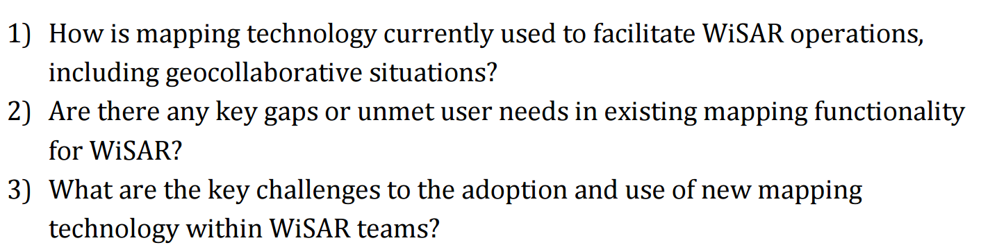
Mapping Technology in Wilderness Search and Rescue
Her thesis has been approved and is now available. Published works forthcoming as well a detailed synopsis of what this means for the Wildland SAR Community.
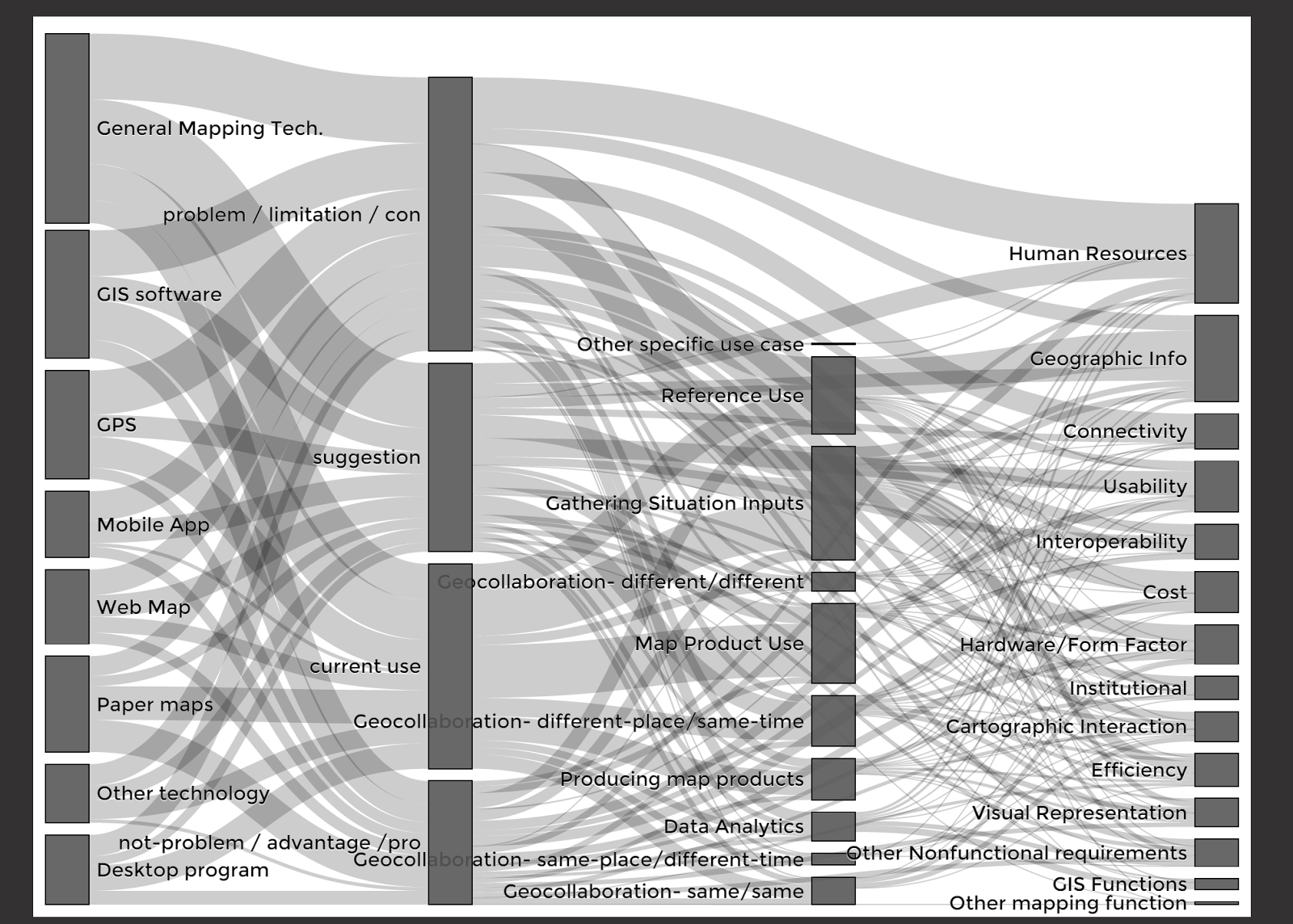
Here is the link to her website where you can read her work, download a copy, and interact with the diagram below in greater detail: http://cmrrose.github.io/thesis/
Here are some key findings from my point of view:
- People are still using a wide variety of software for general mapping, GIS, GPS, and web mapping.
- There are many challenges to using these technologies but almost as many insightful suggestions on how they could be better used in the future.
- Of all the challenges discussed, availability or accessibility of human resources, geographic information / data, and internet connectivity appear to be of most concern.
If you really do not have time to read the thesis or play with the super cool interactive Sankey diagram - then see an except from the Conclusion below.
One participant stated that “searches are still solved by people out on foot, thrashing around in terrain. GIS is just a tool... it’s not some magic something where technology saves the day.” What GIS technology offers is another tool in the searcher’s toolbox—a tool with unique advantages that no other form of mapping technology can replace. If GIS can help focus resources, spark a key insight, or streamline incident management, it may make an important difference in an emergency situation. As one participant put it, “any tool that is going to be there for the betterment of the search and the potential of saving that life, why wouldn't you use it?” GIS capability also can be a benefit to WiSAR teams outside of the emergent search event, supporting documentation, prevention, and preparation.
The challenges to GIS use in WiSAR are surmountable, and many efforts are
already underway to improve the usability of, provide training in, contribute expertise from, and promote awareness of GIS. There also have been efforts to expand interoperability across mapping technology, working toward what I suggest is the ideal: not one prescribed system, but a range of compatible tools that leverage the benefits of several different forms of mapping technology, scale to meet the demands of an incident, and facilitate data aggregation across WiSAR incidents.
This thesis and much more will be discussed at #SARGIS7 in November, details coming soon...already underway to improve the usability of, provide training in, contribute expertise from, and promote awareness of GIS. There also have been efforts to expand interoperability across mapping technology, working toward what I suggest is the ideal: not one prescribed system, but a range of compatible tools that leverage the benefits of several different forms of mapping technology, scale to meet the demands of an incident, and facilitate data aggregation across WiSAR incidents.
أكثر...