[h=2]Download Shapefile World Rivers "Major,Secondary,Minor"[/h]


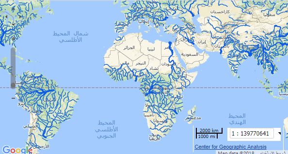

Rivers primarily derive from World Data Bank 2. Double line rivers in WDB2 were digitized to created single line drainages. All rivers received manual smoothing and position adjustments to fit shaded relief generated from SRTM Plus elevation data, which is more recent and (presumably) more accurate.
Type: Vector Data
أكثر...