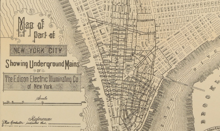
This paper, Mapping History Using Geographic Information Systems, written by Public Historian John Knoerl, discusses at length the role historical maps play in tracing change over time. That is, when using GIS, Knoerl discusses the opportunity to layer old maps over new ones in order to tangibly trace history. Primarily, this is a topic of discussion because it is a very simple way to show history to people who have no desire to actually read a historical text. Finally, Knoerl establishes the relationship between GIS and historical preservation, in the suggestion that mapping immortalizes landscape.
Knoerl, J. (1991). Mapping History Using Geographic Information Systems. The Public Historian, 13(3), 97-108. doi:10.2307/3378555
أكثر...
Knoerl, J. (1991). Mapping History Using Geographic Information Systems. The Public Historian, 13(3), 97-108. doi:10.2307/3378555
أكثر...