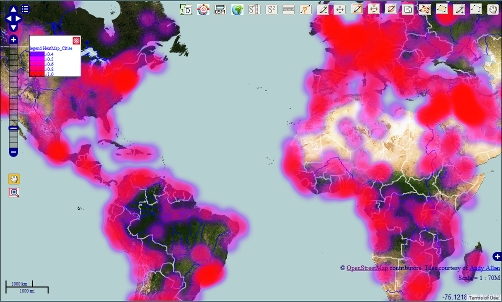
This article is a continuation of the article “Heatmap and Interpolation: it is easy in OpenWebGIS” about creation of Heatmap and Interpolation with the help of OpenWebGIS interface. We are now describing the process of creating a heatmap, based on any point layer, using JavaScript, OpenLayers 2.x and canvas element (as part of HTML5 technology).
Please read more about it in my article here:Heatmap, JavaScript, Openlayers and canvas
أكثر...