GeoNames is an open-source geographical database, which you can download, that contains information on many types of features, in various languages, has attribute data (such as elevation) and comes with lat/long coordinates.
You can see a breakdown of the number of features by country at: www.geonames.org/statistics/. In addition to being able to download the data in bulk, GeoNames also has collaboration and editing features similar to other open mapping ecosystems.
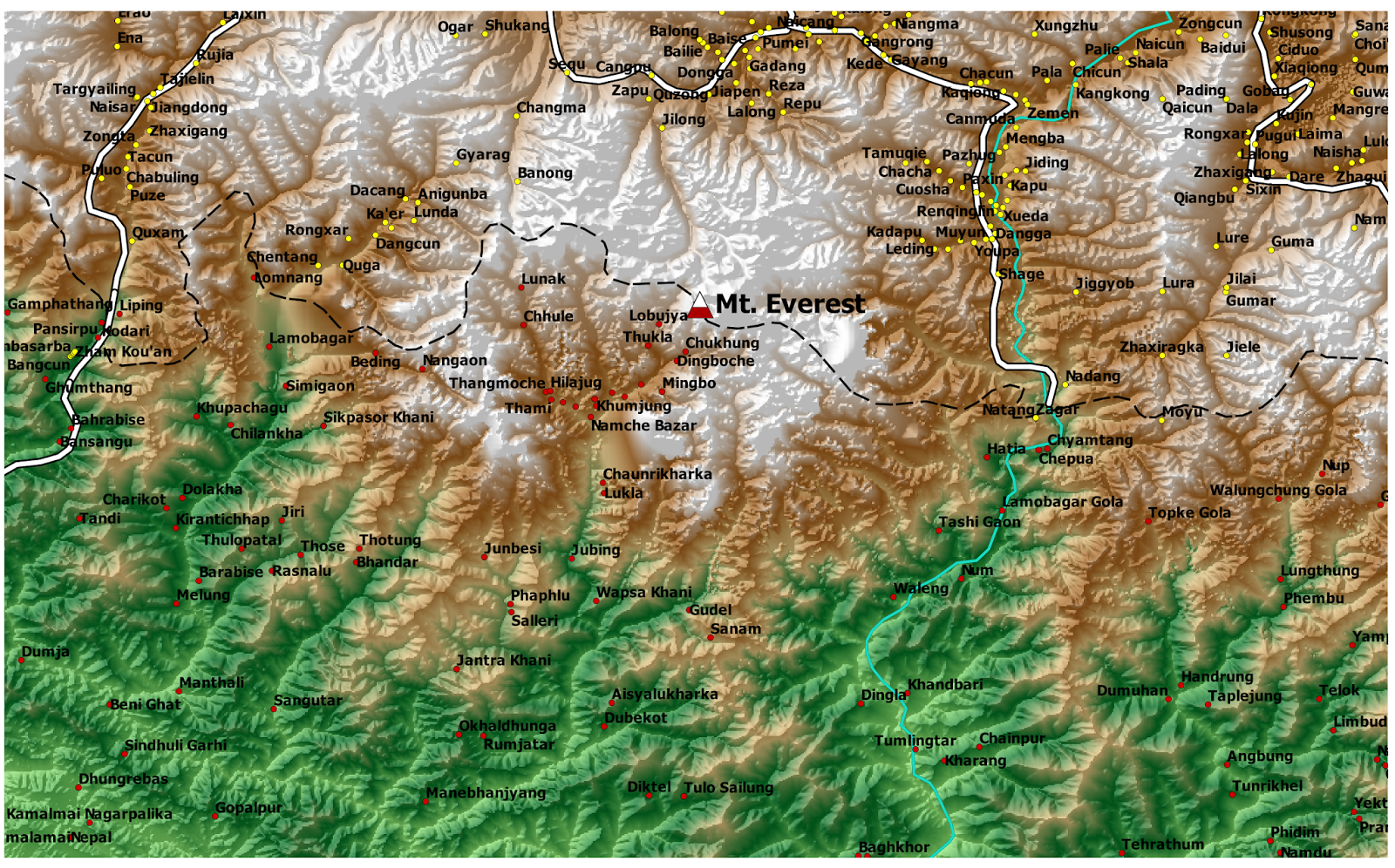
Example: Populated Places Around Mt. Everest
Before downloading, open the Readme: http://download.geonames.org/export/dump/readme.txt to make sure you are grabbing the correct files. It will also describe the column names and send you to a few other webpages for reference information. For example, you will also want to read through the feature codes at: http://www.geonames.org/export/codes.html
 Populated places (PPL) from GeoNames. Click to enlarge.
Other data sources: USGS (DEM) and Natural Earth (Roads, Rivers,etc.).There are also free and premium web services: http://www.geonames.org/commercial-webservices.html
Editing
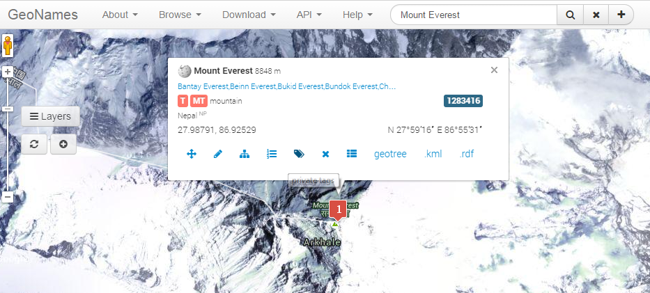
 Add/Edit InterfaceYou can also view a history of edits:
Wikipedia Map
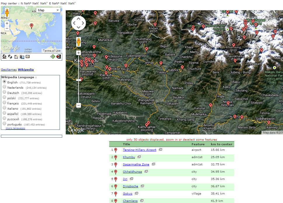
Lastly, you can even view Wikipedia entries on an interactive map:
 Markers pop-up for entries in WikipediaGeoNames data sources: http://www.geonames.org/data-sources.html
أكثر...
You can see a breakdown of the number of features by country at: www.geonames.org/statistics/. In addition to being able to download the data in bulk, GeoNames also has collaboration and editing features similar to other open mapping ecosystems.
Example: Populated Places Around Mt. Everest
Before downloading, open the Readme: http://download.geonames.org/export/dump/readme.txt to make sure you are grabbing the correct files. It will also describe the column names and send you to a few other webpages for reference information. For example, you will also want to read through the feature codes at: http://www.geonames.org/export/codes.html
 Populated places (PPL) from GeoNames. Click to enlarge.
Other data sources: USGS (DEM) and Natural Earth (Roads, Rivers,etc.).There are also free and premium web services: http://www.geonames.org/commercial-webservices.html
Editing
GeoNames also allows users to add and edit data. A screenshot of the interface for Mt. Everest: Add/Edit InterfaceYou can also view a history of edits:
Wikipedia Map
Lastly, you can even view Wikipedia entries on an interactive map:
أكثر...
