[h=2]Download Shapfile and KML International maritime boundaries[/h]

[h=2]Type: KML Data[/h][h=2]
 [/h]
[/h]
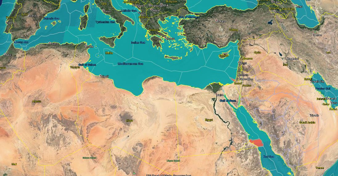
This geodatabase represents the Maritime Boundaries of the world. The database includes five global datasets:
- Exclusive Economic Zones (200NM), version 9
- Territorial Seas (12NM), version 1
- Contiguous Zones (24NM), version 1
- Internal Waters, version 1
- Archipelagic Waters, version 1
[/h]أكثر...