I like a lot of things about MapLift. I like little quick-and-dirty maps much better than big monthlong projects, and I like all the chatter about design here on CartoTalk.
So here's my latest and greatest, ripe for comments.
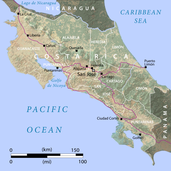
Natural Earth brought me the coastlines and province boundaries quite easily, but I ended up, um, handcrafting the rest. The raster imagery is just a crude blend of some land-cover I found with some hillshading I found. I really want to show the national parks and forests (I think nearly half the country is protected lands) but I can't find any data sources except tracing from Here.com, which would mean a lot of work culminating in projection issues.
I'm still debating whether these main roads should get number shields, or if that introduces all kinds of problems about what highways I've chosen to include here.
أكثر...
So here's my latest and greatest, ripe for comments.
Natural Earth brought me the coastlines and province boundaries quite easily, but I ended up, um, handcrafting the rest. The raster imagery is just a crude blend of some land-cover I found with some hillshading I found. I really want to show the national parks and forests (I think nearly half the country is protected lands) but I can't find any data sources except tracing from Here.com, which would mean a lot of work culminating in projection issues.
I'm still debating whether these main roads should get number shields, or if that introduces all kinds of problems about what highways I've chosen to include here.
أكثر...