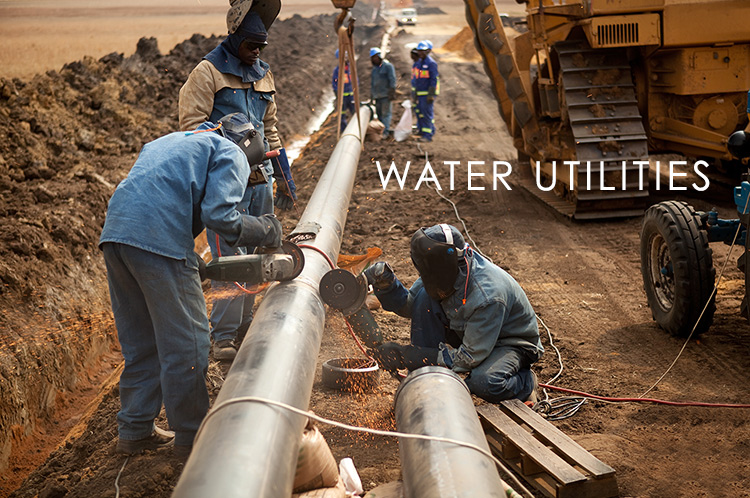
Cloud GIS is a valuable contribution in terms of planning, managing and maintenance of utility infrastructure such as water resources and services. An efficient and smart use of high-quality spatial data becomes an imperative in growingly competitive economy for many electrical, gas and water utilities. Locating facilities, tracking jobs, planning operations and even doing marketing in utilities relies on having all of the data accessible online and open for collaboration between different stakeholders – managers, field crews, local governments and citizens.
GIS Cloud enables collaboration between our company and local government units. Our management now has an overview of existing water infrastructure and drainage data on their smartphones while in the field. Moreover, our employees are using forms to enter information about sanitary network cleanups, field inspections and water supply shortages. All data can be monitored from any location – with GIS Cloud Map Viewer, those who are in need of an accurate information now have a way to access it quickly and efficiently.
We bring you an example of using cloud based GIS for water utility services firm in Croatia, Liburnijske vode (Liburnian Waters), responsible for water network maintenance in 4 local government districts in the region of Istria.
Liburnijske vode<span style="font-weight: 400;"> are using GIS Cloud for collaboration with local government units, together with data collection, field inspections, and an infrastructure overview, maintenance and planning. We talked with Sini
أكثر...