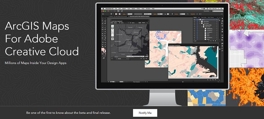
For the past year or so, I’ve been part of a team at Esri that is developing the ArcGIS Maps for Adobe Creative Cloud application.*Our goal is that this extension will provide Adobe Creative Cloud users with web maps so that they can download these maps directly into their Adobe design environment from ArcGIS Online. For example, with ArcGIS Maps for Adobe Creative Cloud, a* user* can* sign* into *their ArcGIS* Online* account* directly* from* Illustrator,* find geographic* content* that* fits* their* map* requirements,* and download this content into their Adobe Illustrator file. It is a seamless* workflow* since cartographers* and* designers* can create a map with spatial data without having to leave Adobe Illustrator.* The* result* is* a* vector* map* containing specifications* that* are* set* by* the* user. Designers and cartographers can then leverage Illustrator’s graphic editing power to design their map as they desire.
There* are* a* lot* of* mapping* and* GIS* organizations* and companies who have a GIS analyst or team and a designer or team* of* designers.* These two* groups,* GIS* analysts* and graphic designers, often have different priorities during their map-making* process,* and* this* application *we’ve* been developing* provides* a* collaborative* tool* for* analysts and designers* to* work* together* in* their* organization’s* map-production* workflow.* GIS analysts can add* their* well-prepared* and* precisely* analyzed* map* data* to* their organization’s* ArcGIS* Online* account,* and* designers* can easily* access* this* data* from* Adobe* Creative* Cloud applications. Allowing designers the opportunity to create their maps in a graphic design tool that they are familiar with greatly improves the map editing workflow efficiency and results. Of course there is the third type of user – the person who is skilled at both GIS and graphic design. The ArcGIS for Adobe Creative Cloud application is a great tool for these users as well.
A lot of static mapping is completed in Adobe Illustrator. In fact, as a cartographer myself, this is how I create most of my static maps, and even some design for interactive mapping. The GIS-export-to-Adobe Illustrator workflow for static mapping is* the* one* I* was* trained* to* follow* at* the* University* of Wisconsin-Madison. After I was hired as a cartographer at Kulshan* Cartographic* Services* in* Bellingham* I *discovered that this workflow is also common practice in the professional cartography world. Now that I am at Esri, it is very exciting to be part of a team that is making this process a lot easier and reproducible.
We have been conducting usability testing, and our plan is to have the beta version of ArcGIS for Adobe Creative Cloud released around the same time as our Esri User Conference this June. Visit esri.com/adobecc for more information and to sign up to be notified when the beta version is available.
أكثر...